Visual aids and archival images for Berlin History Walk
If you liked the tour, please leave "Original Berlin Walks" a 5-star review on TripAdvisor and mention my name: Dylan. (This helps me a lot!)
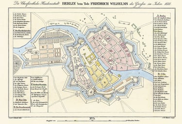
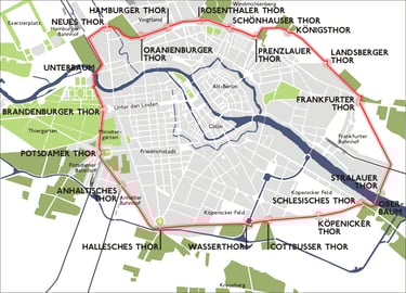
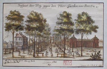
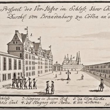
This first map shows the borders of Berlin as 1688. The yellow part is Köln, which is Museum Island today. The second map shows Berlin's borders as of 1790. Notice The Brandenburg Gate (or Thor) leading to Tiergarten. Many of the other 18 gates can be easily found today, marked with U and S-Bahn stations. (Catch some fantastic GDR/Soviet architecture at the Frankfurter Thor.) Next: Unter den Linden, the royal boulevard, running from the palace to the Tiergarten, as it looked in 1691.
Below this, you will find my favorite historic images of sites we visited on our walk.
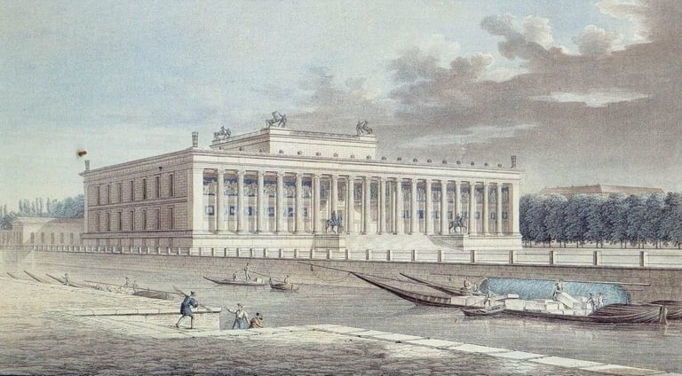
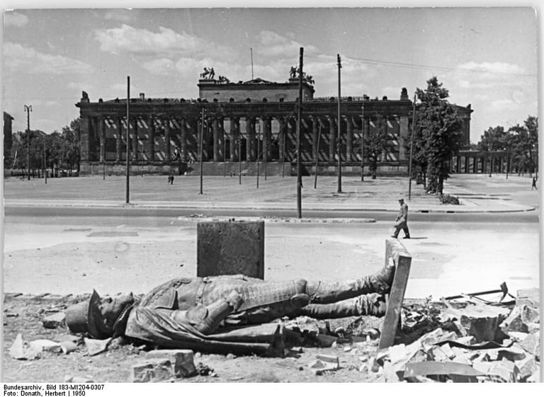
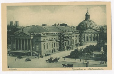
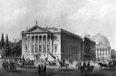
Museums of Museum Island
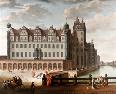
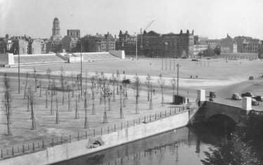
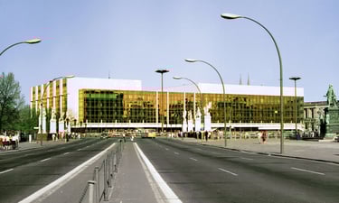
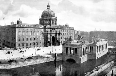
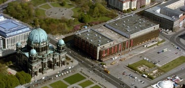
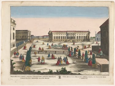
Hohenzollern Palace / Prussian Palace / Palace of the Republic
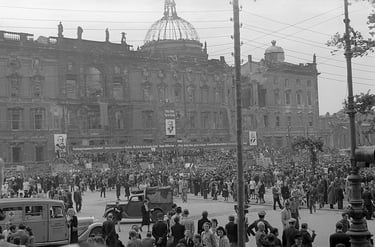
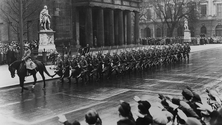
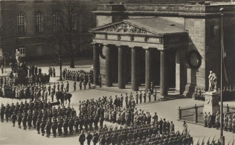
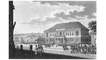
Neue Wache
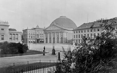
Bebelplatz
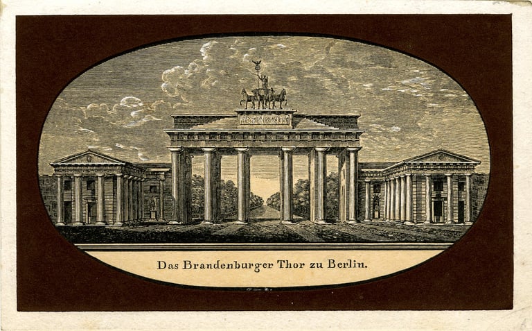
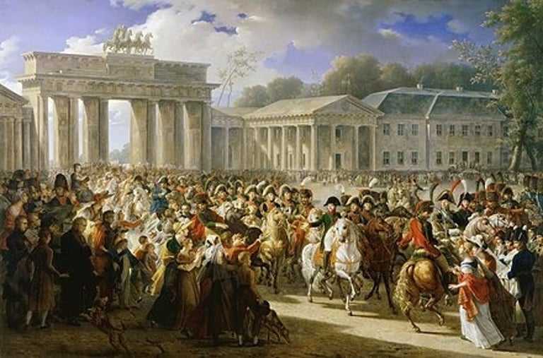
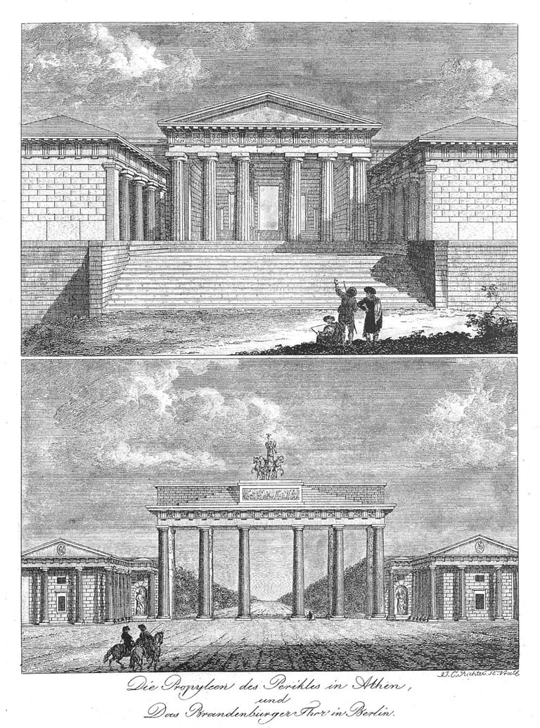
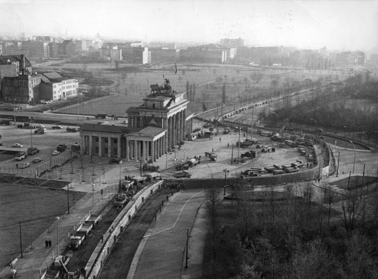
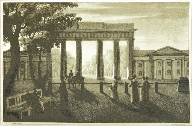
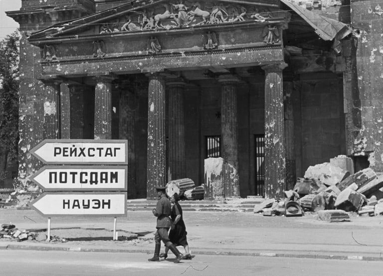
Brandenburg Gate
dylanleelowry (at) gmail.com
Artist / Videographer
Walks in Berlin
walksinberlin (at) gmail.com